
First Canadian GFNY Marathon Closes West End Roads
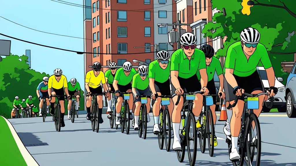
Thousands of cyclists converge on Ottawa's west end for a historic first, turning suburban streets into a temporary circuit while local traffic holds its breath.
The asphalt in Ottawa’s west end lies quiet under a pale morning light, waiting for the first wave of wheels to shatter the silence. This is not just another race; it is the inaugural Gran Fondo New York marathon on Canadian soil, a milestone that pulls thousands of riders into the suburban grid. The air smells of cold pavement and anticipation, a tangible shift from the usual commuter hum to the poised energy of a sporting event.
At the Richcraft Recreation Complex on Innovation Drive, the start line is set. The event, reported by GN sports/cycling (en-US), marks a distinct moment for the region as international competitors and local amateurs merge into a single, flowing stream. The stakes are high, not just for the riders, but for the city, which must yield its veins of traffic to the rhythm of pedaling.
Roads Seal Off At Dawn
From 6 a.m. until 2 p.m., the arteries of the neighborhood are closed to the public. Innovation Drive, usually a thoroughfare for daily commutes, becomes a dedicated lane for the marathon. The closure is absolute, a hard boundary that separates the spectators and locals from the moving mass of cyclists. The streets, lined with trees and houses, transform into a temporary racetrack, their usual function suspended for the duration of the event.
The impact ripples outward to Terry Fox Drive, specifically the stretch between March Road and Richardson Side Road. Here, the noise of engines is replaced by the whir of gears and the crunch of tires on dry leaves. The physical presence of the race is undeniable, a tangible force that reshapes the landscape of the west end for a single, intense day.
Secondary Routes Remain Open
While the main arteries are sealed, a network of secondary roads stays open to local traffic only. March Road, between Maxwell Bridge and Huntmar Drive, serves as a narrow corridor for residents who must navigate through the event zone. Old Second Line Road, running from Terry Fox Drive to Thomas A. Dolan Parkway, offers another limited path, a thread of normalcy woven through the disrupted grid.
The web of restricted routes extends further, touching Dunrobin Road, Galetta Side Road, and parts of Stonecrest, Woodkilton, and Marchurst. Fifth Line, Dunhaven, Kerwin, and Murphy Side roads are fully closed, creating a pocket of isolation for the race. This intricate pattern of closures ensures that the flow of cyclists remains uninterrupted, a carefully managed river of motion that bypasses the daily chaos of the city.
Geography Defines The Event
The entire affected area sits north of Highway 417, a clear geographic boundary that contains the event’s footprint. To the west, the Side Road marks the edge of the action; to the east, Kanata North stands as a silent witness. The Ottawa River, to the north, provides a natural backdrop, its waters reflecting the sky as the race unfolds below.
This spatial confinement creates a unique atmosphere, a contained world where the focus is singular. The riders, the roads, and the spectators exist in a temporary bubble, separated from the broader city by the sheer scale of the closure. It is a day where the suburban landscape is repurposed, its quiet streets given a new, urgent voice by the collective effort of thousands of cyclists.