Four Signs Hint at Rapid Storm Strengthening
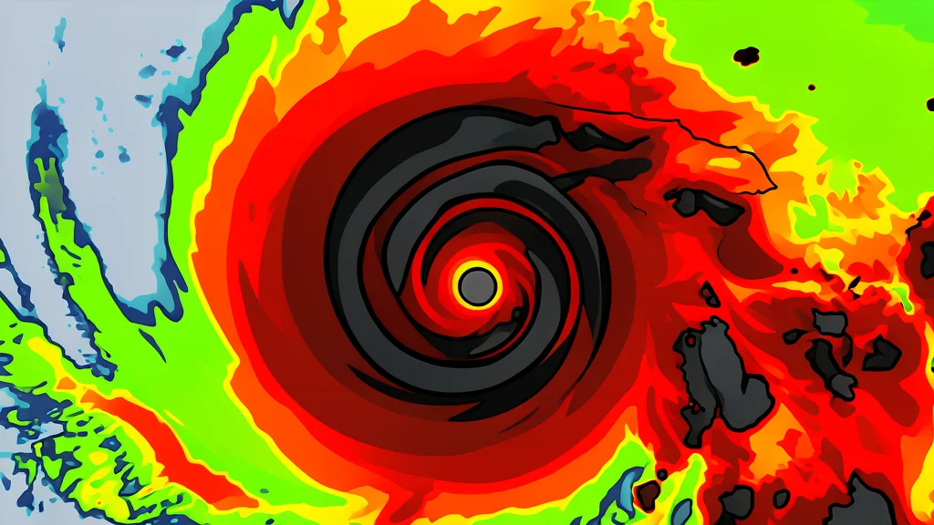
New research identifies four specific indicators that can help forecasters predict when a disorganized tropical cyclone is ready to intensify rapidly, potentially offering coastal communities more time to prepare.
Tropical cyclones must achieve vertical alignment before they can grow significantly stronger. This process involves the storm's rotating centers at different atmospheric levels lining up rather than remaining tilted away from one another. A new study published via ScienceDaily identifies four specific features that predict when this alignment is likely to occur, offering a clearer path for early warning systems.
The findings are based on nearly three decades of data collected by NOAA Hurricane Hunter aircraft. By analyzing this extensive record, researchers from the University of Miami and NOAA's Atlantic Oceanographic and Meteorological Laboratory have isolated the conditions that help tilted storms straighten their circulation. This insight is critical because rapidly intensifying storms leave little time for emergency response, and earlier detection allows for better evacuation planning.
The Mechanics of Storm Alignment
A storm's ability to intensify depends on its internal structure interacting with external environmental factors. Vertical wind shear, which describes changes in wind speed or direction with height, often pushes the upper portion of a storm away from its surface center. Until these centers reconnect, the cyclone generally cannot strengthen substantially. The new research highlights that successful alignment is not a random event but a result of specific, observable conditions working together.
Four Indicators of Potential Strengthening
The study identifies four key characteristics that signal a storm is becoming favorable for intensification. First, a compact and tightly organized circulation near the ocean surface is essential. Second, the storm's tilt must be positioned favorably relative to the surrounding vertical wind shear. Third, stronger rising air and heavier rainfall near the lower-level center indicate internal energy. Fourth, the surrounding environment must feature warm ocean water, ample atmospheric moisture, and relatively weak winds in the middle atmosphere.
These signs provide a practical framework for meteorologists to distinguish between storms that will remain disorganized and those primed for rapid growth. By recognizing these patterns, forecasters can issue alerts earlier, giving coastal residents additional time to make critical decisions. The trade-off, however, is that these indicators require continuous monitoring and precise data interpretation, meaning that even with these tools, the window for action remains narrow during peak storm activity.
Decades of Data Underpin Findings
The robustness of these conclusions rests on a comprehensive database of 1,510 radar analyses collected over 28 hurricane seasons from 1997 to 2024. This dataset, developed by the lead author and colleagues, allowed for a direct comparison between storms that successfully aligned and those that remained tilted. The consistency of the four identified signs across nearly three decades of observations strengthens the reliability of the new predictive model.
While no prediction system is perfect, this approach offers a significant improvement in understanding the transition from a weak to a strong cyclone. The research underscores the importance of integrating internal storm dynamics with broader environmental conditions. For emergency managers, this means that a seemingly disorganized storm should not be dismissed if it exhibits these specific structural and environmental traits.