Gwere Wano Border Tensions Persist Amidst Livelihood Conflicts
Decades of unresolved boundaries continue to disrupt farming and security for communities on both sides of the Uganda-South Sudan frontier.
The fertile farmland of Gwere Wano-Abaya serves as a critical agricultural hub for residents in Uganda’s Moyo and Lefori sub-counties. This area, characterized by lush grass and dense forests, is not only a source of sustenance but also the focal point of a long-standing territorial dispute. According to reports from the GN geopolitics desk, the boundary between Uganda and South Sudan remains a volatile zone where diplomatic ambiguity intersects with daily survival.
For local farmers, the dispute extends beyond maps or diplomatic rhetoric. It determines the safety of their gardens, the security of their homes, and the stability of their families. Recent incidents have highlighted the fragility of peace in the region, with communities reporting cycles of attacks, displacement, and property destruction that have persisted for decades.
Recent Incidents Spark Community Alarm
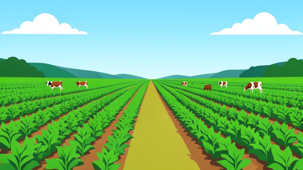
Tensions escalated significantly on September 1 when farmers in the Abaya area intercepted 171 heads of cattle that had allegedly entered from South Sudan to destroy cassava plantations. While the livestock was eventually returned to South Sudanese authorities following diplomatic intervention, the incident triggered further unrest. Livestock keepers from the neighboring country were subsequently accused of attacking farmers, burning homes, and looting property at Gwere Wano.
A community member, who spoke on condition of anonymity due to fear of reprisal, described the daily reality of life in the disputed zone. The individual noted that their family has resided on the land for over four decades, relying on the soil for their livelihood. Despite the deep social ties that exist, including intermarriage between communities on both sides, the threat of violence remains a constant presence.
Historical Roots of the Dispute
The origins of the conflict are deeply embedded in the colonial era, where administrative borders were drawn without fully considering local clan histories and settlement patterns. Recently, elders from South Sudan visited the area near Fitina Mbaya in Yumbe District, asserting that the Ijupi clan occupied the land prior to the Anya-nya war in the early 1950s.
According to these accounts, members of the Ijupi clan fled the region during the conflict, which was used as a training ground for rebels, and returned after the war ended. This narrative highlights how historical memories and traditional authority continue to shape perceptions of ownership, complicating efforts to establish a clear and accepted boundary.
Livelihoods Under Threat at the Border
The economic impact of the instability is immediate and severe for those who depend on agriculture. When armed individuals cross into the area and force farmers to abandon their fields, the loss of months of labor is devastating. Families whose homes are destroyed lose not only shelter but also food supplies, clothing, and the psychological confidence to return to their land.
The situation at Gwere Wano illustrates a broader challenge where history, identity, and sovereignty collide. As long as the boundary remains undefined, every new settlement, road, or administrative structure risks becoming a flashpoint. The forward question remains how international and local authorities can move beyond temporary ceasefires to establish a durable framework that secures both peace and livelihoods for the communities involved.