Dalaroo Maps Structural Controls at Blue Lagoon Rare Earth Project
Dalaroo Metals identified dominant fault sets and source rocks in southern Greenland, strengthening its geological model for rare earth mineralization.
Key points
- Dalaroo Metals collected 354 structural measurements at Blue Lagoon to define the fault sets controlling rare earth mineralization.
- Mapping identified weathered Larvikite as the likely source rock, with mineralization accumulating in lower basins around the lagoon.
- Over 200 samples have been dispatched for assay analysis to integrate with structural and geophysical data for target prioritization.
Dalaroo Metals has completed a detailed geological mapping program at its 100% owned Blue Lagoon rare earth elements project in southern Greenland. The initiative focused on defining the structural architecture that controls mineralization, providing a clearer framework for interpreting the site's potential.
The work involved collecting 354 structural measurements to identify consistent orientations in quartz veins and pegmatites. These findings show strong similarities to the structural setting of the adjacent Ilua rare earth pegmatite discovery by Amaroq Minerals, which features a five-kilometer strike length.
Structural Mapping Defines Mineral Pathways
Dalaroo identified a dominant fault set aligned with the elliptical shape of the Blue Lagoon intrusive complex. A secondary fault set creates a widespread structural network that management believes acted as plumbing for mineral-rich fluids flowing into the basin.
The mapping also revealed far-reaching alkaline intrusive and altered rocks, including granites, syenites, aplites, and pegmatites. Extensive fenitization was mapped, indicating the presence of a large, chemically evolved intrusive system capable of concentrating rare earth elements.
Source Rock Weathering Drives Accumulation
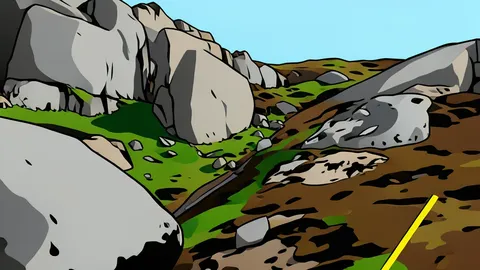
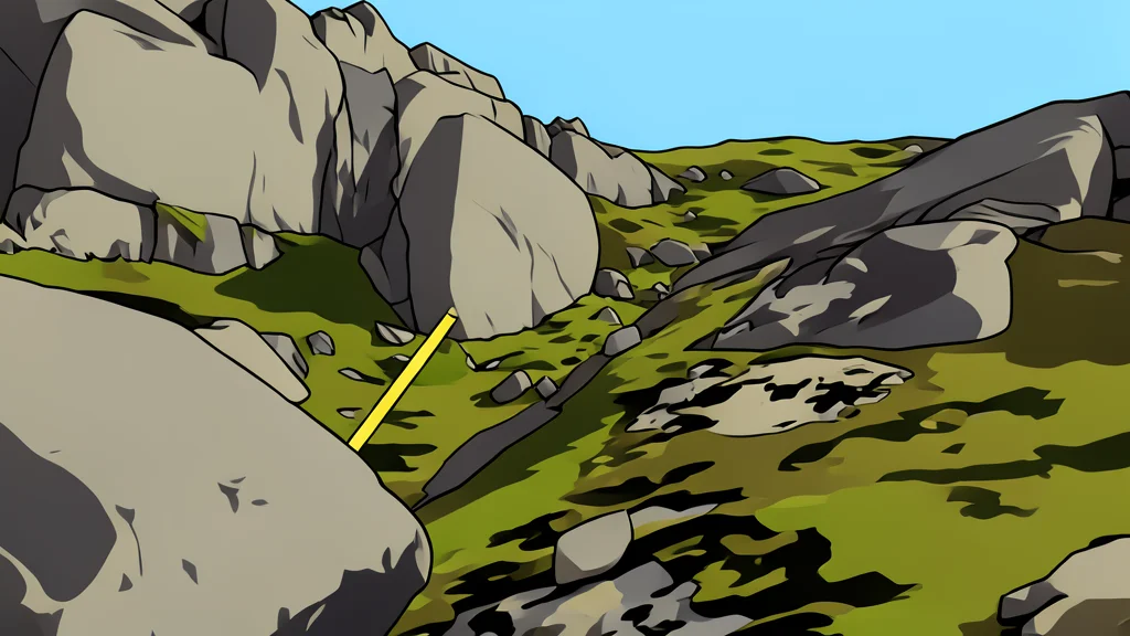
The company’s source-to-sink model suggests that heavily weathered Larvikite at the complex's center is the primary source of rare earth mineralization. This coarse-grained igneous rock is enclosed by harder Nunarssuit Syenite, which forms the high ridges surrounding the lower-lying Blue Lagoon.
Weathering of these elevated intrusive rocks is believed to have transported material into lower basins around the lagoon. Natural traps in these areas likely allowed sediments to accumulate and concentrate the mineralization, supported by multiple generations of intrusive rocks including dolerite dykes and shallow-dipping aplite sills.
Sample Assays Integrate Geochemical Data
Alongside structural mapping, Dalaroo collected over 200 rock-chip, stream-sediment, and surface-sediment samples. These samples have been dispatched for multi-element assay analysis to identify principal source-to-sink pathways into the Blue Lagoon basin.
The next step involves integrating the new structural data with existing geochemical, geophysical, and bathymetric datasets to zero in on priority targets. As reported by the Brisbane Times, this work strengthens Dalaroo’s position in a region becoming strategically vital for secure rare earth supply chains outside traditional producing countries.