Satellite Data Exposes War Crimes Hidden from Human Reporters
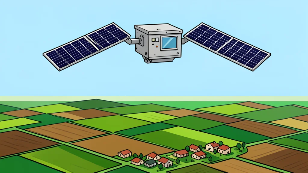
Orbital imagery is becoming a critical tool for documenting atrocities, offering an independent record when local news is censored or biased. This method helps verify events in regions where independent access is blocked.
Monitoring armed conflict has traditionally relied on news reports and survivor testimonies. While valuable, these sources can be incomplete or influenced by political bias. A new study indicates that satellite imagery can fill these gaps by providing an objective view of events on the ground.
Researchers argue that satellites offer a unique advantage because they repeatedly revisit the same locations. This allows for the detection of patterns and trends in violence that might otherwise go unnoticed, particularly in areas controlled by authoritarian regimes.
Orbital views verify on-the-ground destruction
In 2017, satellite data provided crucial evidence of atrocities in Myanmar. While survivor accounts described the massacre of Rohingya civilians, satellite images confirmed that houses in targeted neighborhoods had been burned down. This visual proof helped establish that the violence was systematic and targeted.
Valerie Sticher, a political science researcher at the University of Zurich, notes that traditional datasets often focus on casualty numbers rather than infrastructure damage. Satellites, by contrast, capture the physical aftermath of conflict, such as destroyed buildings, which can reveal the scale of violence more comprehensively.
Automated analysis improves response speed
The team is developing automated systems to analyze satellite images for early warnings. This technology aims to alert the world to ongoing conflicts faster than manual review allows. In Myanmar, satellite data was among the first reliable information to reach the outside world when journalists were barred from entering the region.
Hannes Mueller, a conflict researcher, emphasizes that totalitarian governments often prevent information from reaching international audiences. However, they cannot easily hide the physical destruction of villages from space. This creates a verifiable record of violence that is difficult to dispute.
Technical limits constrain satellite coverage
Despite its utility, satellite monitoring has significant trade-offs. Spacecraft must be specifically tasked to capture images, and data download capabilities are limited. This means satellites often cannot image every location they pass over, resulting in gaps in the global record.
Consequently, satellite data often reveals the aftermath of major incidents rather than providing real-time coverage. For instance, cities like Homs in Syria were only heavily imaged after large-scale attacks occurred. This delay limits the ability to prevent violence as it happens, though it remains vital for accountability.